Rathfee, Co. Galway

An early medieval settlement, rediscovered.

Since 2023, the Kilskeagh Heritage Committee has worked to make our old graveyard accessible again — uncovering the ruins of Kilskeagh Church and evidence of a market town that may date back to the 6th century.

The site

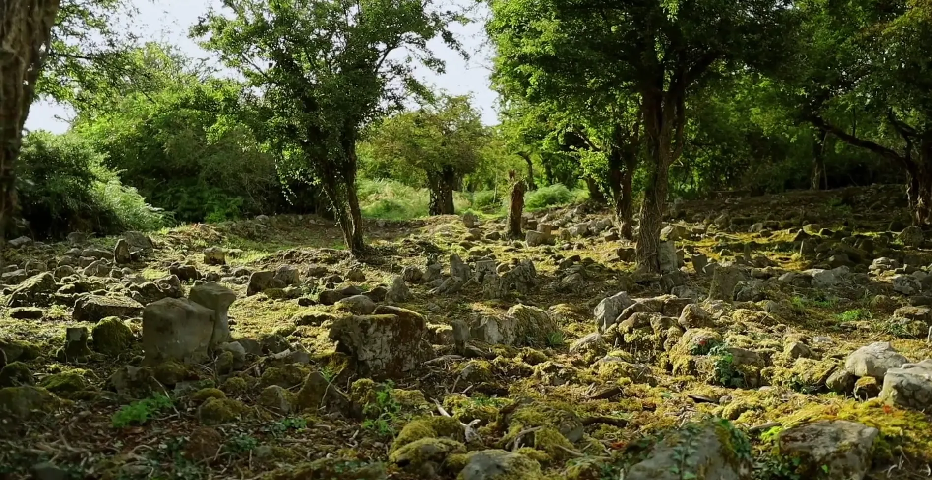
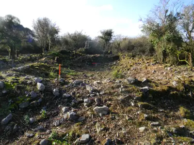
In the townland of Rathfee, a few fields from the Witch's Castle, the ruins of Kilskeagh Church and its graveyard lay under hawthorn and briar for more than fifty years. They were never forgotten — people remembered the graves, the market, the cross — but they could not be reached.

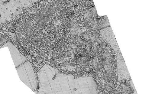
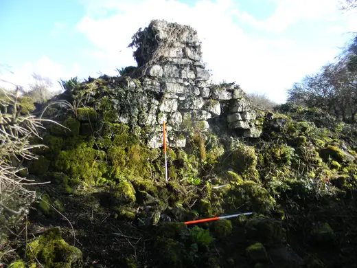
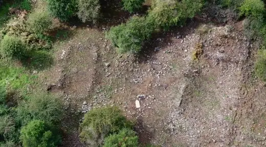
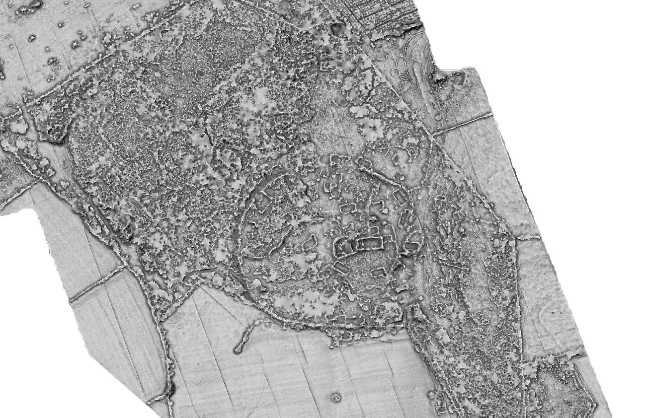
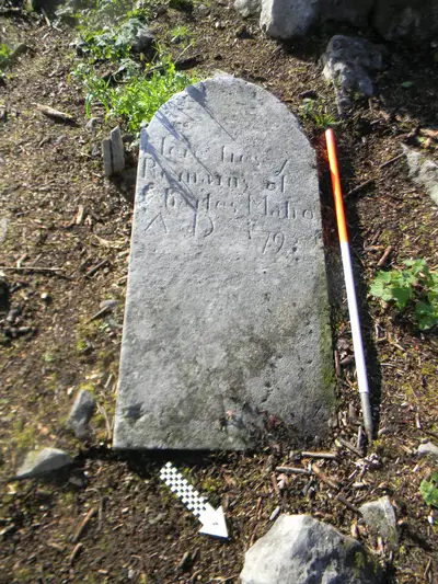
Clearing the scrub has revealed far more than a church: a community graveyard and cillín in use until 1960, the footings of around thirty buildings, and — thanks to a 2025 LiDAR survey — a great circular enclosure that suggests the site was already old when the medieval church was built.

2023
Kilskeagh Heritage Committee founded
50+
years the site lay hidden under scrub
16 × 9 m
medieval parish church, 15th–16th century
c. 30
building remains around the church
125 m
enclosure revealed by LiDAR in 2025
1797
the only dated headstone; burials until 1960

The story so far

Full history
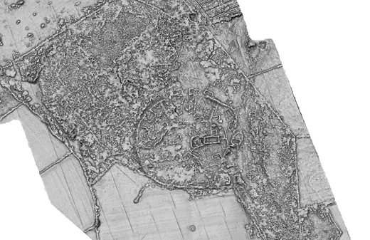
LiDAR image of the site showing a circular enclosure around the church and many building footings.
The 2025 LiDAR survey

Seeing through the scrub

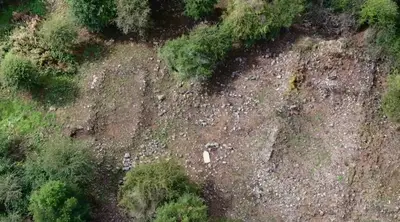
A drone-mounted laser scan by Western Aerial Survey stripped away the vegetation to show the bare ground beneath. The result: a round bank about 125 metres across enclosing the whole core of the site, three-quarters of it still intact, with the church at its centre and the footings of unrecorded buildings all around.

Enclosures like this are typical of early medieval church sites — or the site may reuse an earlier ringfort. Either way, Kilskeagh was already old when its stone church was built.

What the survey found

From the site

All 18 photographs

A timeline of Kilskeagh

What we know so far, from the earliest enclosure to the work of the last three years. Dates before 1797 are the archaeologists' best current interpretation.

  1. Early medieval

    A circular enclosure about 125 metres across is built here — possibly an early church enclosure, or a ringfort. The townland name, Rathfee, may mean ‘under the rath’.

  2. 13th century

    The Witch’s Castle, a hall-house, is built 700 metres to the south, with a trackway linking it to the enclosure.

  3. 15th–16th century

    The stone parish church is built, sixteen metres by nine, with a vaulted room for the priest. A busy market, with a wooden cross, is remembered nearby.

  4. 1797

    The only inscribed headstone in the graveyard is carved.

  5. 1960

    The last burials take place in the cillín. The site is gradually swallowed by hawthorn and briar.

  6. 2011

    Road-scheme excavations nearby uncover trackways and buildings of the ‘Old Kilskeagh’ village remembered in oral history.

  7. 2023

    John Tarpey founds the Kilskeagh Heritage Committee. Archaeological and ecological assessments are commissioned with a Heritage Council grant.

  8. 2024

    Volunteers clear the core of the site under archaeological supervision. Around thirty building remains come to light.

  9. 2025

    Drone and LiDAR survey by Western Aerial Survey reveals the enclosure. Results are presented during Heritage Week, and families of those buried here gather on the site for the first time in many years.

  10. 2026

    A Heritage Week information evening with the project archaeologist and historian; the next day Mass is celebrated among the graves — by local tradition, the first at Kilskeagh since Cromwellian times.

Community

Uncovered by the people who remembered it

Everything found at Kilskeagh was cleared by hand by local volunteers, working under the guidance of the project archaeologist. Local oral history — who was buried where, where the market stood, which fields held old houses — has matched the physical evidence again and again, and filled gaps the written record never recorded.

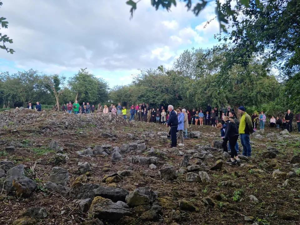
The site is open again. In 2025, families of those buried here and the local community gathered at Kilskeagh for the first time in many years. During Heritage Week 2026 the committee held an information evening with the project archaeologist and historian, and the next day Mass was celebrated among the graves — by local tradition, the first at Kilskeagh since Cromwellian times. There is a great deal still to clear, record and research, and every pair of hands and every memory helps.

People standing on stony ground scattered with grave markers, with a wooded hedge behind.
Support the work

Only around a tenth of the site has been worked on so far.

Keeping the clearance and investigation going has cost over €5,000 this year, met by local donations and volunteer hours. A donation of any size helps the committee reach the rest.

From the archive

All articles
History·

What the 2025 LiDAR survey revealed

A drone-mounted laser scan of Kilskeagh in summer 2025 saw through the vegetation to a 125-metre enclosure around the church — and a trackway linking it to the Witch's Castle.

Kilskeagh Heritage Committee · 4 min
With the support of
  • The Heritage Council
  • Galway County Council
  • National Monuments Service
  • Scéal Heritage Consultancy
  • Western Aerial Survey
  • John Lusby Consulting

Stay in touch.

An email whenever something new is added to the archive — an article, a batch of photos, or a recording.

Free. Unsubscribe in one click.