What the 2025 LiDAR survey revealed
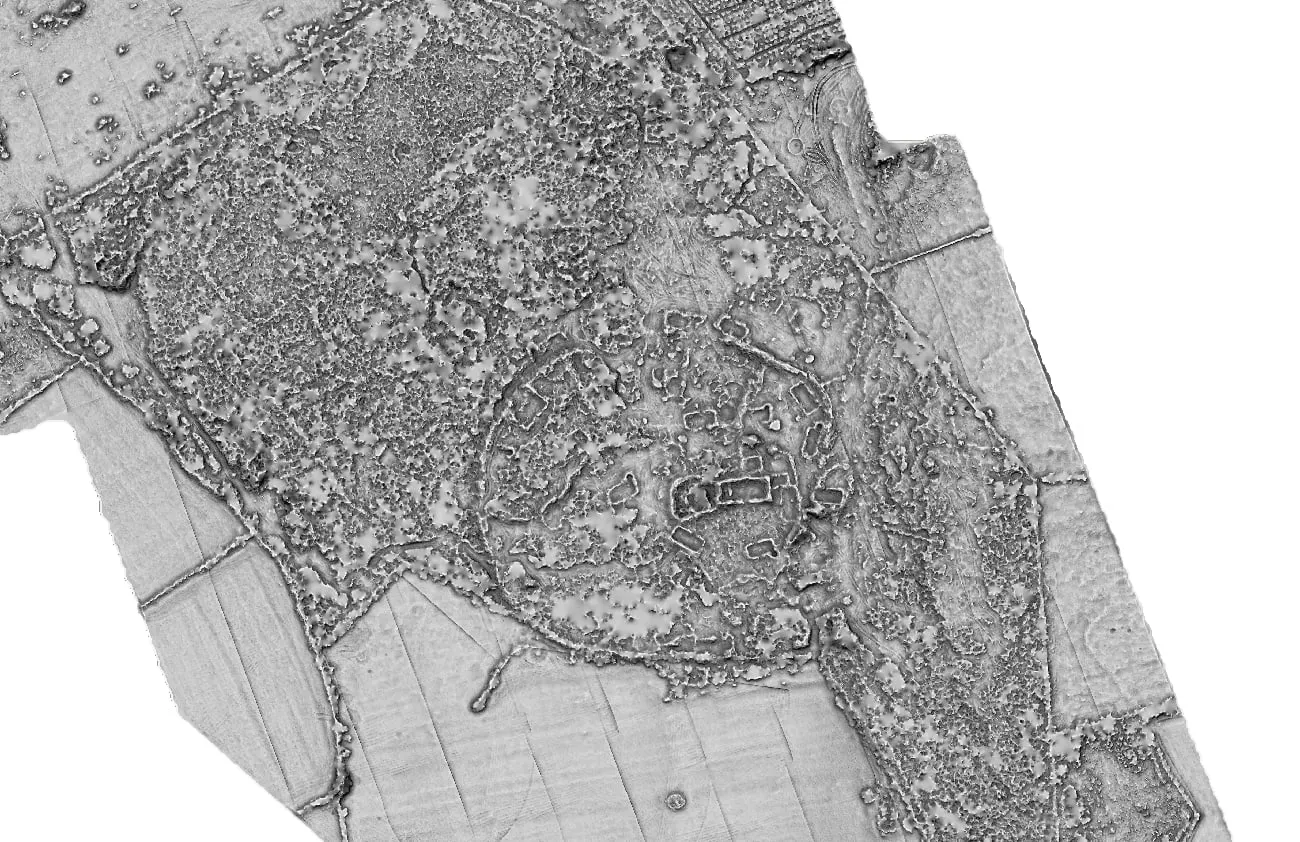
A drone-mounted laser scan of Kilskeagh in summer 2025 saw through the vegetation to a 125-metre enclosure around the church — and a trackway linking it to the Witch's Castle.
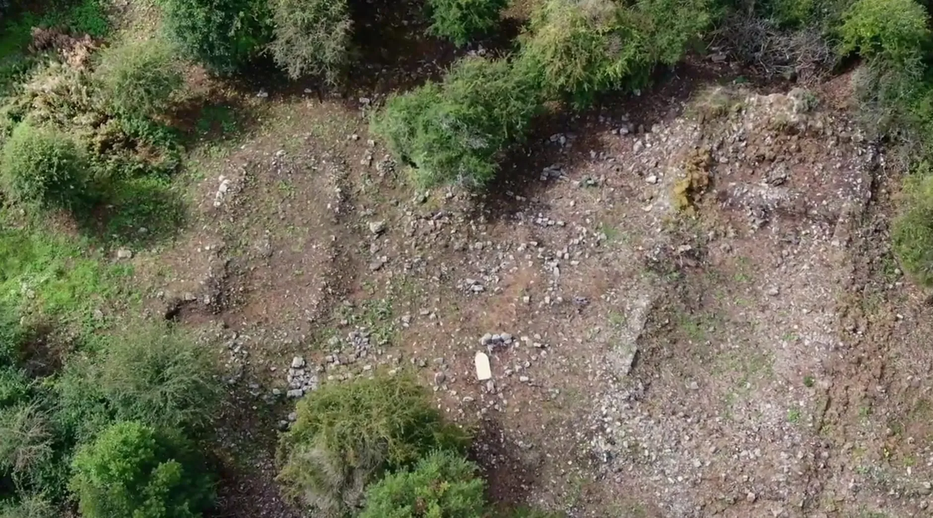
By the end of 2024 the volunteers had cleared the core of Kilskeagh Church and Graveyard, but the greater part of the thirteen-acre site was still buried under gorse, hawthorn and briar. Cutting it all back would take years. Was there a way to see what was under it first?
In February 2025 the committee’s chairperson, John Tarpey, approached Dr Paul Naessens of Western Aerial Survey. After a walkover of the site they agreed that the church and graveyard should be recorded — but also that a wider landscape survey would be far more valuable, because of the thirteenth-century castle about 750 metres to the south, which appeared to have been in use at the same time as the church. With funding from the Heritage Council’s Community Heritage Grant Scheme, the survey went ahead over the summer of 2025.
How LiDAR works
LiDAR — light detection and ranging — fires a rapid pulse of laser light at the ground and times the returns. From a drone, it produces millions of measured points. Some bounce off treetops and branches, some off bushes, and some make it all the way to the ground. By keeping only the last returns, the surveyor can build a bare-earth model of the land as it would look with every scrap of vegetation removed.
At Kilskeagh the survey used a DJI Matrice 300 drone, first with a 45-megapixel camera for conventional aerial photography and then with a LiDAR sensor returning 240,000 points per second, accurate to within three centimetres. The data was processed into terrain models that could be lit and shaded from different angles to bring out the faintest banks and hollows. All of it has been handed over to the committee, along with training in how to work with it.
The enclosure
The most significant discovery was in the core of the site. The processed survey shows a substantial round or oval bank enclosing the whole of it: about 125 metres across in each direction, with roughly three-quarters of the circuit still intact. The bank stands on average 0.4 metres high and is two to three metres wide — easy to miss on the ground under vegetation, unmistakable in the model.
Enclosures of this kind are characteristic of early medieval church sites in Ireland; it may be one of the concentric enclosures associated with early monasteries. It is also possible that the church was built within the reused enclosure of an earlier ringfort. The townland name, Rathfee, has been suggested to come from rath faoi — “under the rath”. Either way, the standing church is not the beginning of the story.
Within the enclosure, the model also picked out a number of building footings beyond those already found by the clearance.
The castle and the trackway
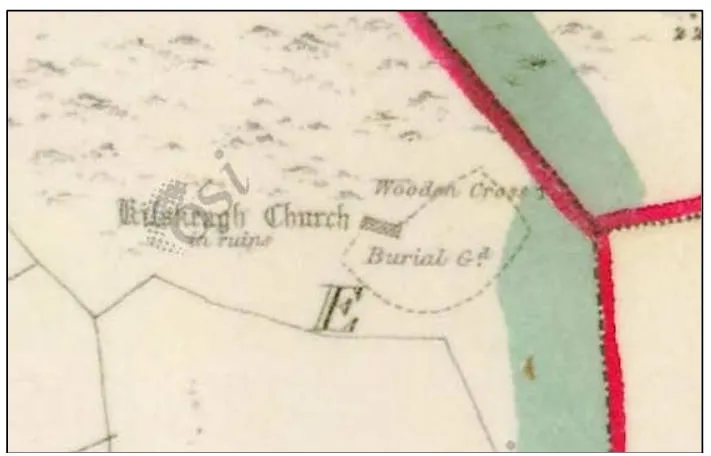
The Witch’s Castle, a thirteenth-century hall-house, was found to be surrounded by significant earthworks on its northern and western sides — partly the remains of buildings that may be contemporary with it, partly perhaps quarrying for stone. A trackway runs from the castle towards the church enclosure, passing a round enclosure (GA071-048) about 160 metres north of the castle that was already on the first Ordnance Survey map.
South of the castle, where the fields were levelled for improvement in recent times, the survey found a further complex of enclosures and banks that is completely invisible at ground level. Settlement around the castle was far more extensive than anyone had thought. Elsewhere in the survey area the model shows at least three more enclosures and traces of old field boundaries.
A possible sequence
Putting it together, Dr Naessens suggests a tentative history. The enclosure is the oldest element, possibly an early medieval monastic site. The castle followed in the thirteenth century — perhaps the seat of a minor Anglo-Norman lord, or a grange castle of the Cistercians before they settled at Abbeyknockmoy. The church site may then have been developed as the focal point of the parish in the thirteenth to fourteenth centuries, with the present stone church built later still. By the sixteenth century the castle was in the hands of one Murrogh McSwyne; the church fell into disrepair in the centuries after.
The preliminary results were presented to the public at a community-centre event during Heritage Week in August 2025. Analysis of the data continues, and the next step is to check the most important anomalies on the ground as clearance reaches them. The full picture, as far as it is currently understood, is on the history page.

Volunteers uncovering and caring for Kilskeagh Church and Graveyard since 2023.
Continue reading
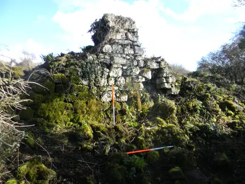
Rediscovering Kilskeagh: how a lost church and graveyard came back into view
For more than fifty years the old church and graveyard at Kilskeagh lay hidden under scrub. Since 2023, hundreds of hours of volunteer work have brought the site back into the open — and revealed a medieval settlement nobody had recorded.