Rediscovering Kilskeagh: how a lost church and graveyard came back into view
For more than fifty years the old church and graveyard at Kilskeagh lay hidden under scrub. Since 2023, hundreds of hours of volunteer work have brought the site back into the open — and revealed a medieval settlement nobody had recorded.
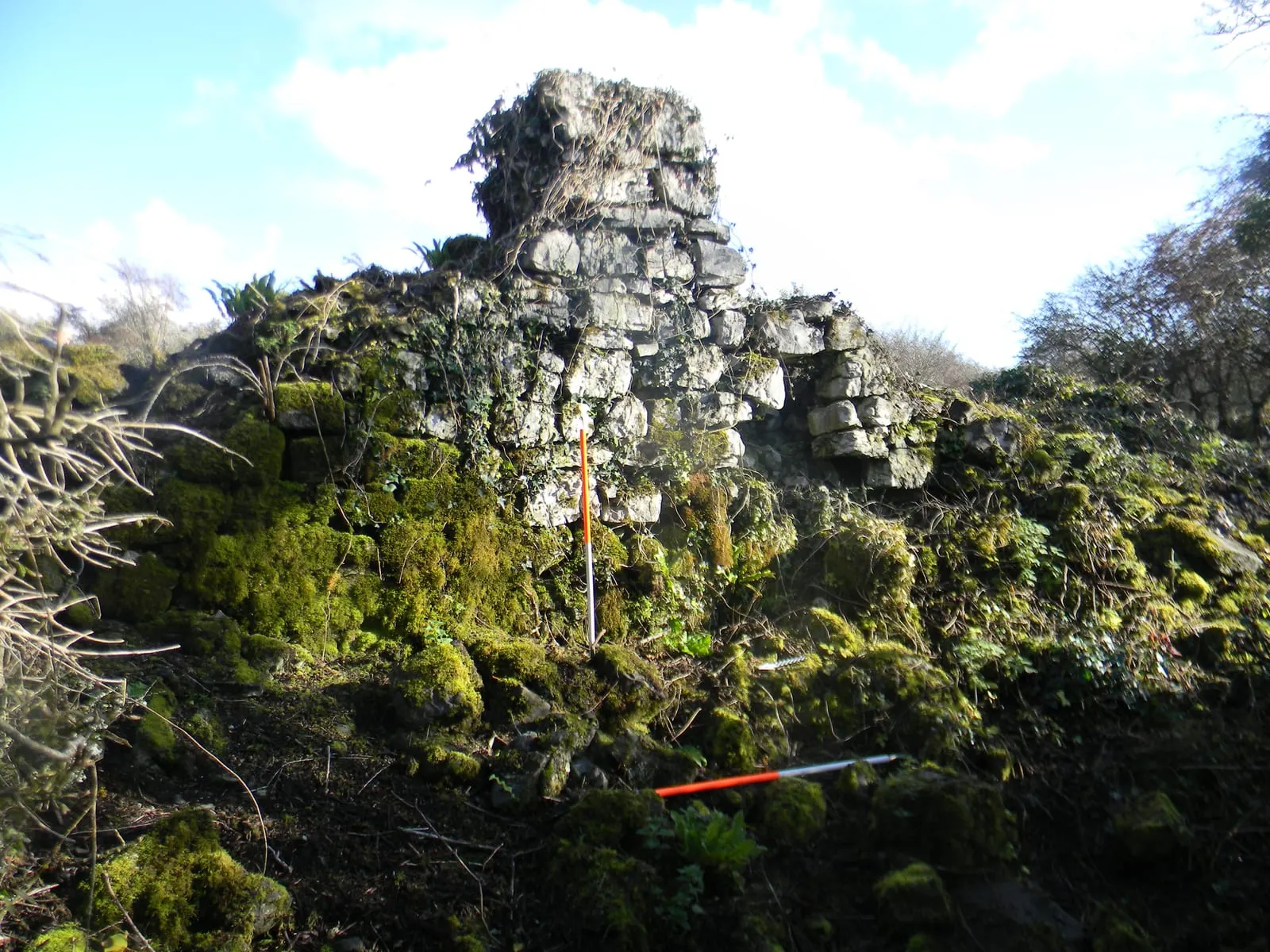
Everyone in the area knew there was a graveyard at Kilskeagh. Families had people buried there; the older generation remembered the market and the cross. But by the 2020s nobody had set foot in it for the best part of fifty years. The old church and graveyard, in the townland of Rathfee, had disappeared under a dense cover of hawthorn, whitethorn and briars so complete that the site was simply inaccessible.
In 2023 John Tarpey set up the Kilskeagh Heritage Committee to change that. The aim was modest: to uncover the graveyard and make it accessible to the community once again.
Doing it properly
Because the site is a recorded national monument (GA071-076003), the committee could not simply start cutting. With a Community Heritage Grant from the Heritage Council, it commissioned two reports before any work began: an Archaeological Impact Assessment by Donna Gilligan of Scéal Heritage Consultancy, who became the project archaeologist, and an Ecological Assessment by John Lusby.
With both complete, the National Monuments Service gave permission to tidy the site. The volunteers were given a toolbox talk on how to clear overgrowth from a monument without damaging what lies beneath, and the work began — under continuous professional supervision that has lasted ever since.
What the scrub was hiding
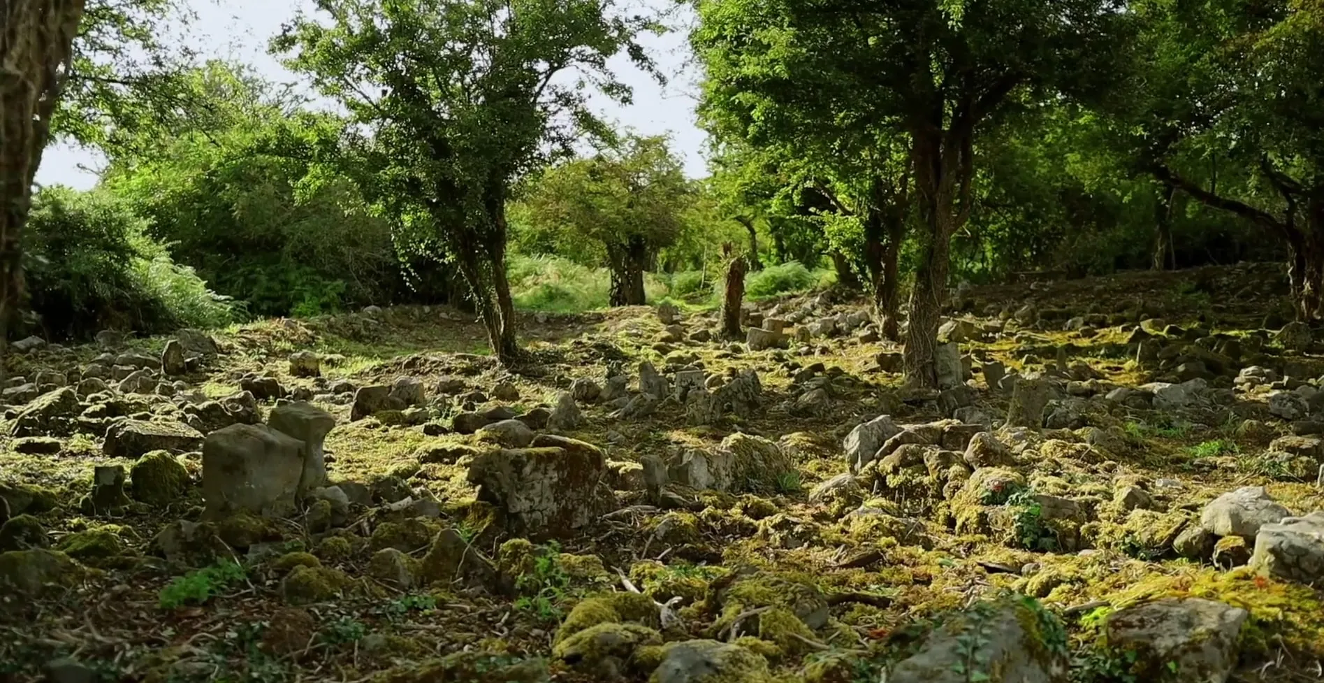
Over the course of 2024 the core of the site was cleared of its heaviest overburden. What emerged was far more than a graveyard.
- A medieval church. The ruins are those of a substantial parish church, about sixteen metres by nine, dating from the fifteenth or sixteenth century. The west wall appears to have been part of a vaulted room — the priest’s living quarters.
- A graveyard and cillín. Dozens of simple stone-lined graves, packed closely together. Only one is inscribed, dated 1797, but burials continued here until 1960.
- A settlement. Around the church are the footings of roughly thirty buildings, none standing more than half a metre high. Several have the distinctive shape of corn-drying kilns; Dr Christy Cunniffe has suggested they may be rare examples of barn kilns, a type otherwise known from Orkney.
- The market. Oral history records a busy market at Kilskeagh, and the first Ordnance Survey maps mark a wooden cross beside the church. Four small cairns on the ground may include its base.
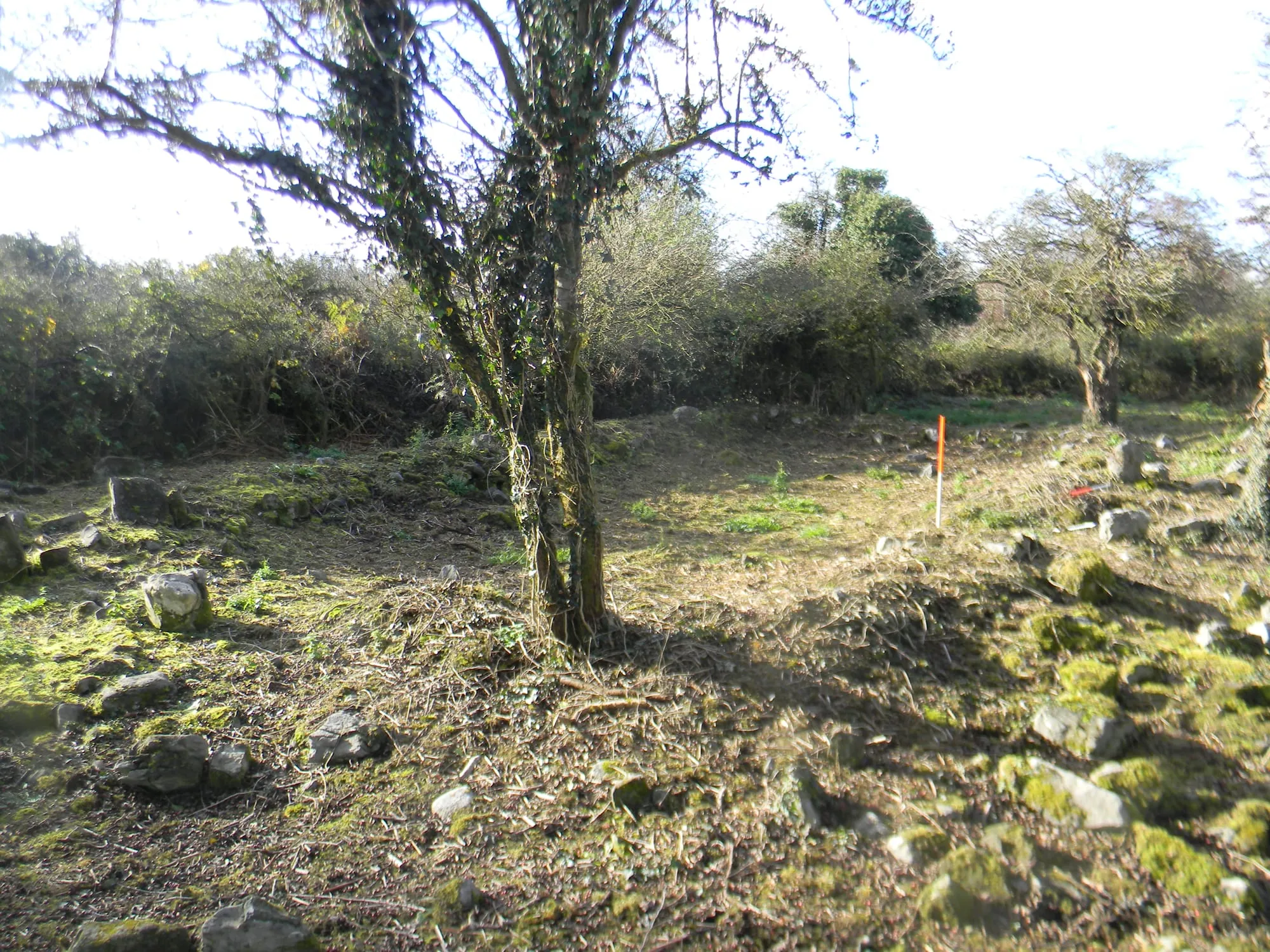
His work has also uncovered a previously unrecorded and very significant wider archaeological and historical complex dating from the medieval period, which shines a new light on the important local history of the area.
— Donna Gilligan, project archaeologist
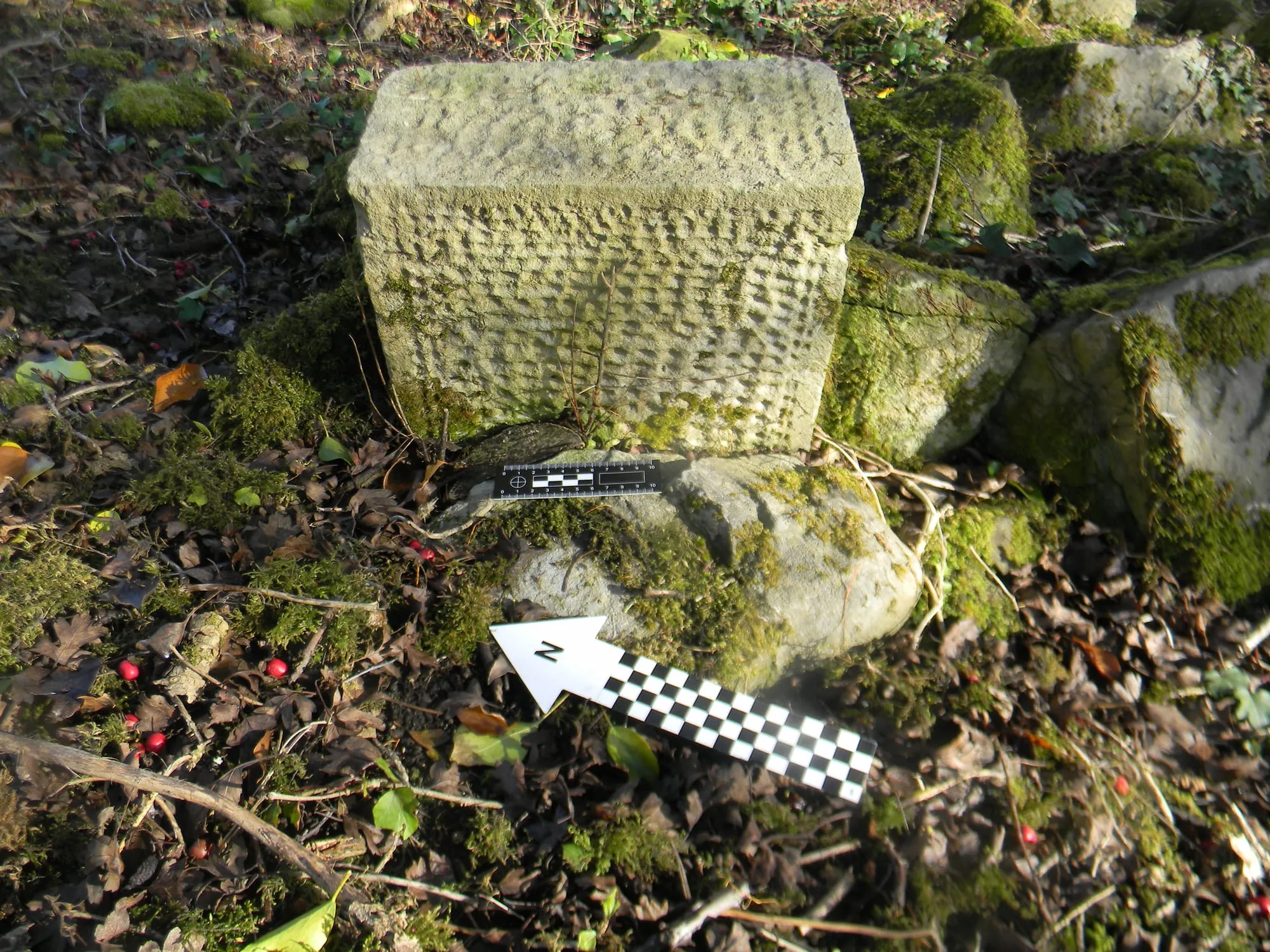
Even the church’s own stones turn up in unexpected places. A handful of decorative punch-dressed blocks — finished with a pointed tool to give a dimpled surface — were taken from the ruin at some point and set up as grave markers.
The part oral history played
Almost none of this was in the written record. What guided the volunteers, again and again, was what local people remembered — where the graves were, where the market stood, which fields held old houses. Time after time, the physical evidence matched the stories. The archaeologists who excavated nearby for the M17 and N17 road schemes in 2011 had noted the same thing: local knowledge identified houses and pathways as a former village before the archaeology confirmed it.
Where things stand
In 2025 the committee commissioned a drone and LiDAR survey of the site, which revealed a great circular enclosure around the church and suggests Kilskeagh was already an old place when the medieval church was built. That survey is the subject of its own article. The full story, as it is currently understood, is set out on the history page.
Most of the thirteen-acre site is still under scrub. Clearance continues, a conservation plan for the church is being prepared, and every visible grave in the cillín is to be recorded. If you have a memory of Kilskeagh — or a few hours to give on a work day — please get in touch.

Volunteers uncovering and caring for Kilskeagh Church and Graveyard since 2023.
Continue reading
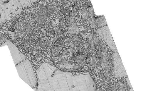
What the 2025 LiDAR survey revealed
A drone-mounted laser scan of Kilskeagh in summer 2025 saw through the vegetation to a 125-metre enclosure around the church — and a trackway linking it to the Witch's Castle.